
Use case: How Bing Maps satellite imagery finds ancient sites
Blog|11 January 2019
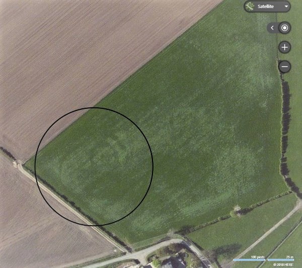
Not only can Bing Maps help you with your business and location intelligence, but it can help you unlock your inner archaeologist!
Cyrille Chaidron, Lecturer of Archaeology at the University of Picardy in Amiens, France, has developed a unique use case leveraging satellite and aerial imagery from Bing Maps – the discovery of archaeological sites across the UK and France. As part of a series of courses he offers at the university, students are invited to use Bing Maps to help locate and identify historical landmarks hidden beneath the ground. The results are remarkable.
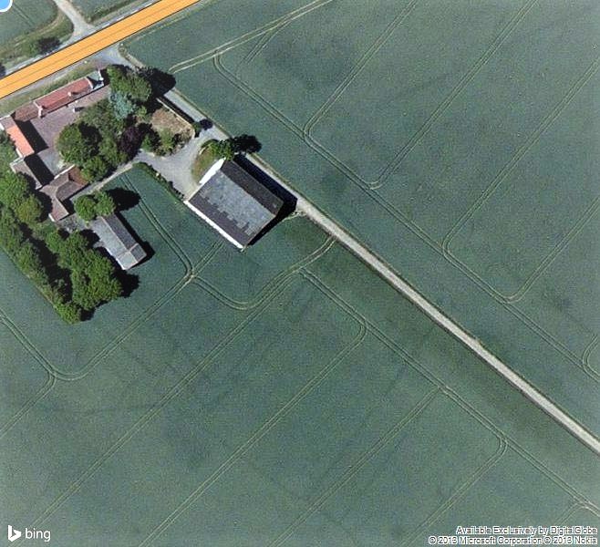
A Roman villa under a farm near Amiens, Northern France
He explains how Bing Maps has helped him to make new discoveries: “The quality is perfect and, depending on the nature of the soil, the results are spectacular.” He notes, “discoveries can be counted in hundreds or even thousands; it all depends on the area you are working on. It allows us to explore the question of land use from the Neolithic era to the contemporary era through the traces left on the ground.”
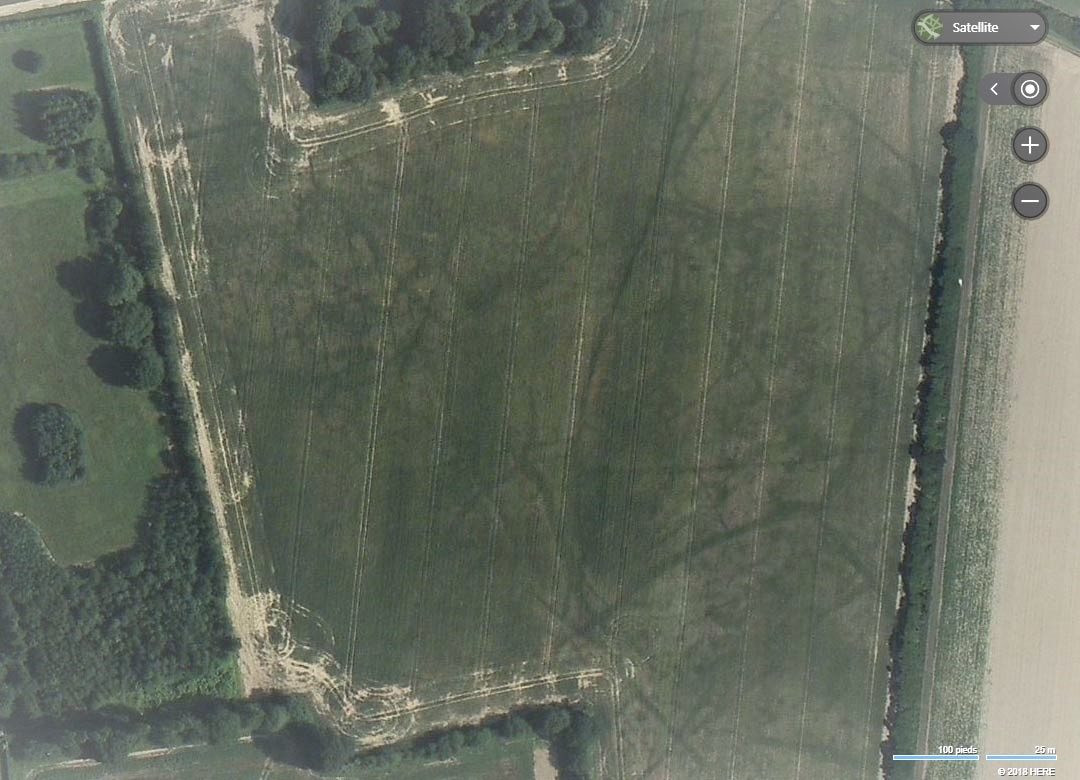
Series of Celtic or Roman ditches and enclosures, UK
When one looks at the examples provided it is clear to see the outlines of ancient settlements and roman villas in striking detail. This is in part helped by the great quality of imagery that Bing Maps uses via its satellite imagery providers around the globe. With a zoom level of up to 30cm per pixel and high-resolution imagery, Bing Maps helps Cyrille and his students, and other organisations around the world, with insights and business intelligence.
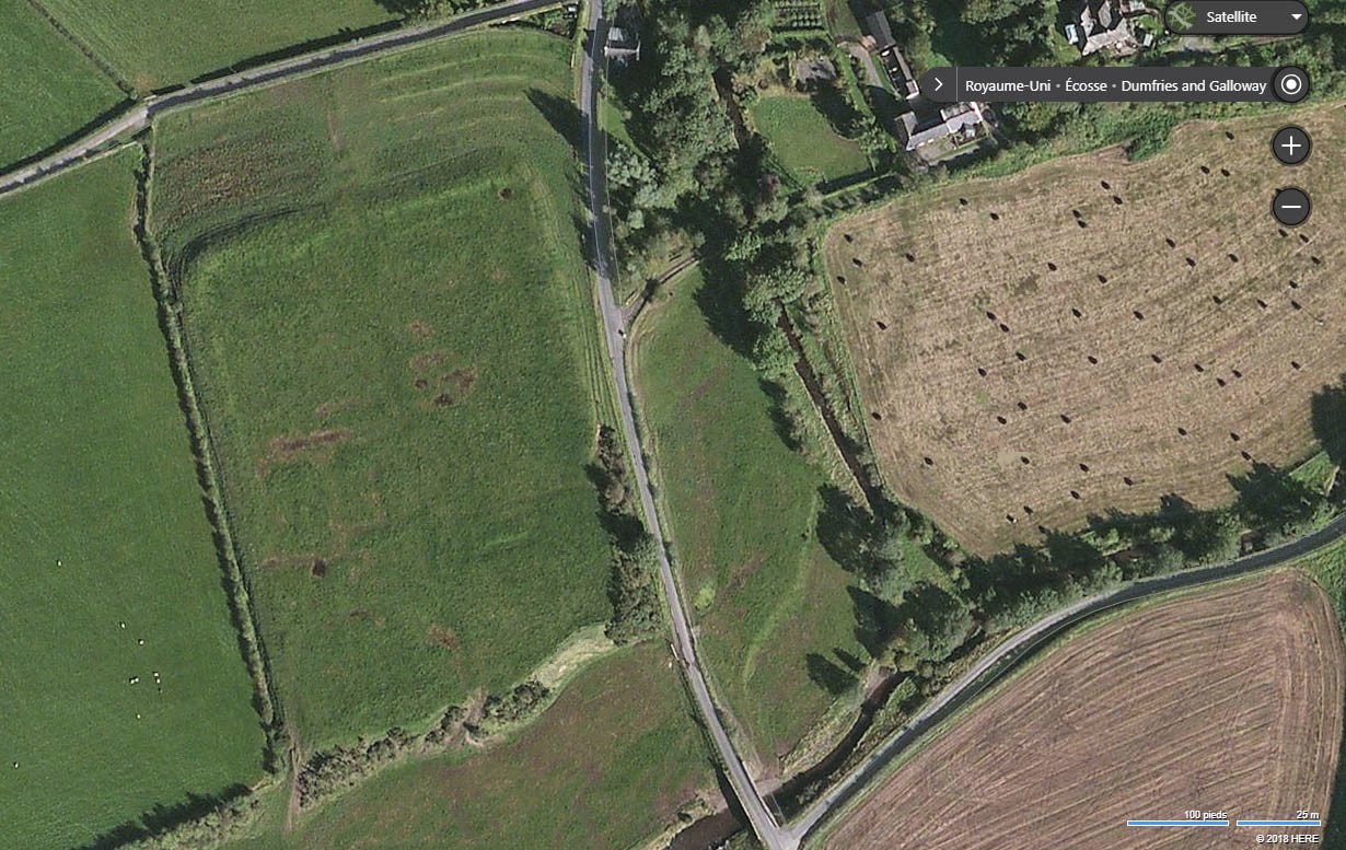
The field on the left shows a probable Roman military camp, Dumfries and Galloway Scotland
For example, council planners and building firms can utilise the imagery to provide insights on building distribution, and real estate vendors can show home buyers their prospective house and the surrounding area in more detail than a standard road-level map. Forestry and environmental organisations have the ability to analyse the distribution of various terrains and changes in the landscape, and, utilising the imagery in conjunction with the Elevation API can provide vital data in the industries of flood prevention and aeronautics.
Grey Matter is the EMEA and APAC distributor for Microsoft Bing Maps and has a specialist mapping team who can discuss your use case and advise on the best licensing model. Email them: [email protected] or call the team direct on +44 (0)1364 655133.